SatLeo Labs Prepares to Launch TAPAS-1 Thermal Imaging Payload for Climate and Agriculture Monitoring
By Rohan Varma | Published October 1, 2026 | 8 min read
Indian SpaceTech startup SatLeo Labs readies TAPAS-1, a high-resolution orbital thermal-imaging payload for precision agriculture, wildfire tracking, and infrastructure monitoring.
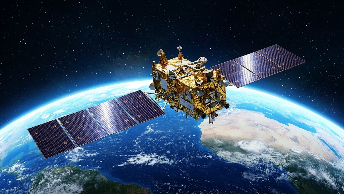
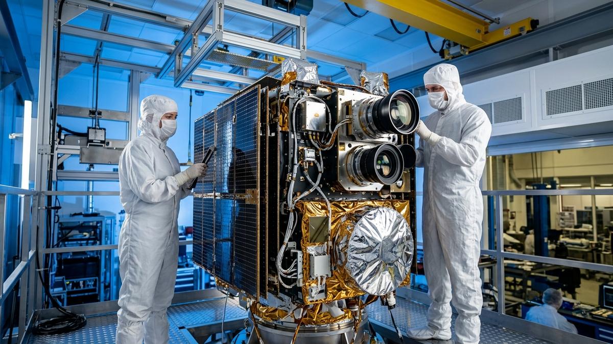
Indian SpaceTech pioneer SatLeo Labs has entered the final pre-launch testing phase for TAPAS-1, a proprietary high-resolution thermal imaging satellite payload designed to transform Earth observation telemetry. Engineered to capture micro-level surface temperature variations from Low Earth Orbit (LEO), TAPAS-1 delivers actionable radiometric data critical for precision agriculture, wildfire tracking, climate risk modeling, and industrial infrastructure monitoring.
While traditional optical satellites rely strictly on reflected visible sunlight, thermal infrared sensors measure the radiant heat emitted directly by terrestrial objects. This capability allows satellites to monitor Earth continuously day and night, cutting through haze and thin smoke. The deployment represents a major milestone in India's privatized space sector, where startups are transitioning from experimental cubesats to commercial, high-value orbital payloads.
The telemetry collected by TAPAS-1 will feed into machine learning models deployed across distributed cloud infrastructure, complementing the growing footprint of enterprise sovereign AI and compute platforms designed to handle multi-terabyte geospatial analytics.
Radiometric Precision: Engineering the TAPAS-1 Sensor Payload
Developing space-grade thermal optical systems demands mastery over thermal stabilization, cryogenic detector management, and precision opto-mechanics. Within the vacuum of space, temperature swings between direct solar radiation and planetary shadow can exceed 150 degrees Celsius, threatening sensor calibration.
SatLeo Labs has overcome these aerospace engineering hurdles through several proprietary design innovations:
- Long-Wave Infrared (LWIR) Sensor Matrix: Operating across the 8 to 14 micrometer spectral band, capturing surface thermal emissivity with high radiometric sensitivity (Noise Equivalent Differential Temperature < 50 mK).
- Athermalized Optical Train: Precision germanium and chalcogenide optical elements encased in low-expansion composite housings, maintaining diffraction-limited optical focus across extreme orbital thermal cycles.
- Onboard Edge Calibration Blackbody: Miniaturized temperature reference sources executing real-time radiometric calibration during flight to eliminate orbital detector drift.
- High-Throughput Downlink Architecture: Onboard lossless compression engines encoding high-bitrate radiometric frames for rapid downlinking during ground station contact passes.
"Thermal data is the missing link in planetary Earth observation,"said the SatLeo Labs engineering team. "Visible imagery shows you what the Earth looks like; thermal telemetry reveals the underlying physical health—whether that is a crop starving for water, a factory leaking thermal energy, or a forest canopy drying out into a tinderbox."
Downstream Applications: Transforming Agriculture, Climate, and Urban Safety
The commercial applications for sub-meter thermal satellite telemetry are expansive, addressing some of the most urgent environmental and industrial challenges across the Global South. The table below outlines the core technical specifications and downstream industrial use-cases of the TAPAS-1 mission:
| Operational Dimension | TAPAS-1 Technical Specification | Primary Downstream Sector | Strategic Impact |
|---|---|---|---|
| Spectral Detection Band | Long-Wave Infrared (LWIR, 8 – 14 µm) | Precision Agriculture | Direct measurement of crop water stress & transpiration |
| Ground Sampling Distance (GSD) | Sub-30m Thermal Spatial Resolution | Municipal Climate Planning | Urban heat island mapping and cool-roof targeting |
| Radiometric Accuracy | < 0.5°C Absolute Temperature Precision | Energy & Industrial Safety | Detection of gas pipeline leaks & refinery flaring audits |
| Revisit Cadence | 48 hours (Scaling to daily constellation) | Disaster Management | Rapid wildfire spread tracking & industrial fire response |
| Orbital Deployment | 500 km Sun-Synchronous Orbit (SSO) | Insurance & Commodities | Objective automated drought payout claim verification |
Predictive Agriculture: Solving Bharat's Irrigation Dilemma
In India, where over 60% of cultivated farmland relies on volatile monsoon patterns, thermal satellite monitoring provides an unprecedented defense against drought. When agricultural crops begin to run out of soil moisture, their stomata close to conserve water, causing leaf surface temperatures to rise by 2 to 4 degrees Celsius.
By detecting this thermal signature days before crops show visible wilting, TAPAS-1 telemetry enables farmers and agricultural cooperatives to deploy targeted precision irrigation, conserving critical groundwater reserves while preventing catastrophic harvest losses.
These sensor payloads require edge processing chips capable of running physical inference under tight thermal constraints, similar to advancements in edge machine learning SoCs built for autonomous edge platforms.
Integration with India's New Space Economy
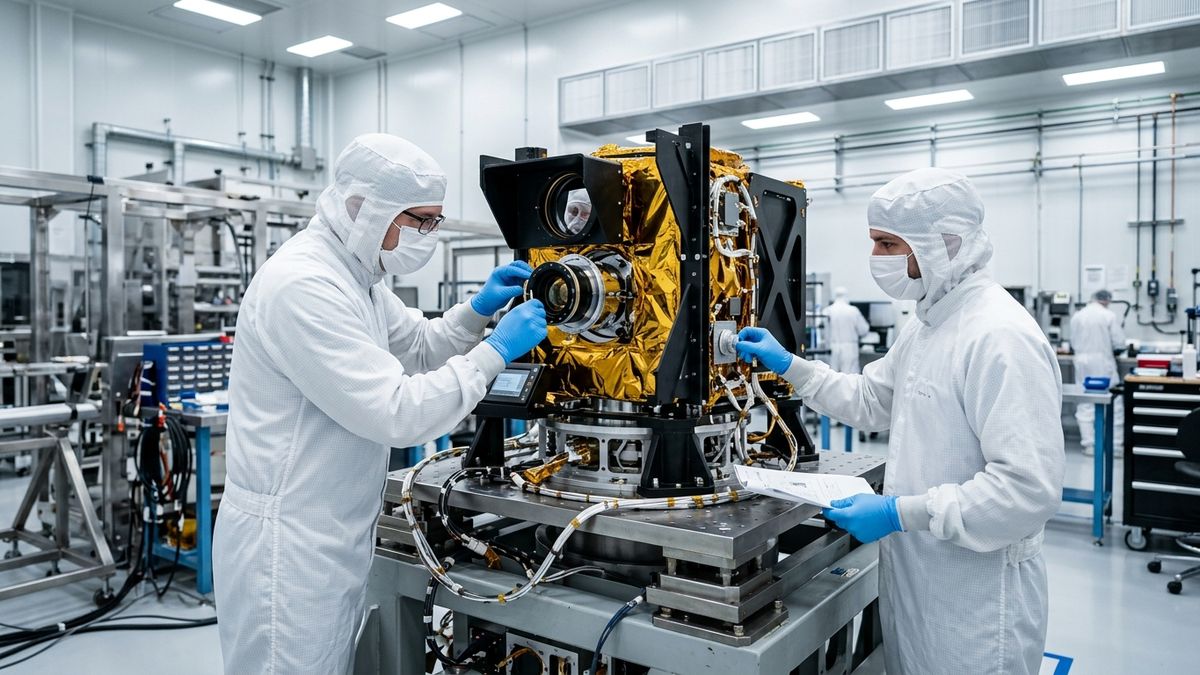
SatLeo Labs is executing the TAPAS-1 mission in close coordination with the Indian National Space Promotion and Authorization Center (IN-SPACe) and NewSpace India Limited (NSIL). The regulatory support and access to ISRO's environmental test facilities—including thermal vacuum chambers and vibration test tables—have accelerated the flight readiness of Indian space hardware.
As SatLeo Labs prepares for launch, the successful orbital deployment of TAPAS-1 will mark a major breakthrough for Indian private space ventures, establishing domestic technological leadership in high-resolution Earth observation and sovereign climate monitoring.
Frequently Asked Questions
What is TAPAS-1 and what makes its thermal imaging technology unique?
TAPAS-1 is a specialized satellite optical payload developed by SatLeo Labs that captures high-resolution Long-Wave Infrared (LWIR) surface radiation from orbit, measuring precise temperature differentials on Earth's surface regardless of cloud shadows or daylight conditions.
How does thermal satellite imaging benefit Indian precision agriculture?
Thermal telemetry measures plant transpiration and soil moisture depletion directly. When crops experience water stress, their leaf surface temperatures rise days before physical wilting occurs, enabling predictive irrigation and preventing major crop failures.
Who are the primary commercial and governmental customers for SatLeo Labs?
Primary consumers include agricultural commodity traders, national disaster management agencies, municipal urban planners assessing heat islands, insurance providers evaluating drought claims, and petrochemical operators monitoring pipeline thermal anomalies.
What launch vehicle and orbit parameters will TAPAS-1 utilize?
TAPAS-1 is scheduled to ride on an upcoming commercial launch into a Sun-Synchronous Low Earth Orbit (SSO) at an altitude of approximately 500 km, providing consistent solar illumination and high radiometric calibration accuracy.
Primary Sources & Official References
- SatLeo Labs Aerospace Engineering & Flight Readiness Brief: Mission Specifications
- Indian National Space Promotion and Authorization Center (IN-SPACe): Commercial Launch Authorization Registry
- Indian Space Research Organisation (ISRO): Earth Observation Directorate
- National Remote Sensing Centre (NRSC): Precision Agriculture Satellite Framework